

What Shorewood Street, Park and Building Names Reveal About Its History
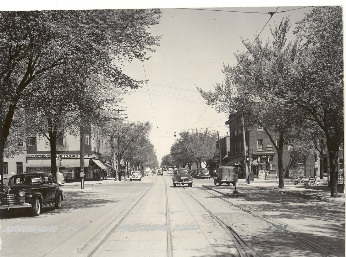
The intersection of Capitol and Oakland Ave. Photo via Shorewood Historical Society.
Capitol Drive has carried several names. Downer Avenue traces the path of an early commuter railway. A riverside park honors one of Shorewood’s longest-serving village presidents. Even Village Hall began as something entirely different.
Together, Shorewood’s streets, parks and public buildings tell the story of how a rural area north of Milwaukee became a densely populated streetcar suburb between Lake Michigan and the Milwaukee River.
Much of this history has been preserved by the Shorewood Historical Society, whose walking tours, historical markers and archives are excellent resources for anyone who wants to explore further.
Capitol Drive: One Road, Several Names
Capitol Drive has undergone more name changes than perhaps any other major street in Shorewood.
Early names associated with the road included Lake Street, Mineral Spring Road and Atwater Road. The Atwater name remained in use through much of Shorewood’s early development and can still be seen in historical references to businesses along the corridor.
The road became Capitol Drive around the time a new concrete bridge opened across the Milwaukee River in 1928, connecting Shorewood more directly with Capitol Drive west of the river. The bridge replaced an older iron structure during a decade of rapid population growth and public investment.
The Atwater name survives most visibly at Atwater Park and Beach, where visitors can look out over Lake Michigan from the bluff or descend to the beach below.
Families planning a visit can also explore our guide to dog-friendly parks in Shorewood, including current restrictions for dogs at Atwater Park.
Oakland Avenue Follows an Early Survey Line
The intersection of Oakland Avenue and Capitol Drive sits near the point where four sections created by the federal government’s 1830s land survey meet.
Those early surveys divided the land into standardized sections and helped determine the routes of future property lines and roads. Oakland Avenue developed along one of those section lines, meaning the street’s modern path reflects decisions made before Shorewood existed as a village.
Oakland Avenue later became even more important when electric streetcar service arrived in the late 1890s. Businesses, homes and community institutions clustered around the streetcar route, helping Oakland and Capitol emerge as Shorewood’s commercial center.
Lake Drive Began as a Toll Road
Before Lake Drive became one of the North Shore’s best-known residential streets, it was part of the privately operated Whitefish Bay Toll Road.
Milwaukee County acquired the road in 1913, converting it into a public thoroughfare. Easier access encouraged additional development along the Lake Michigan bluff, where prominent Milwaukee families commissioned substantial homes during the early 20th century.
Many of these residences were designed by notable architects, including Alexander Eschweiler, Russell Barr Williamson and Ernest Flagg. The concentration of architect-designed homes helped the area become known as Shorewood’s “Gold Coast.”
The Shorewood Historical Society’s walking tour highlights several of the village’s historically and architecturally significant properties.
Downer Avenue and the “Dummy Line”
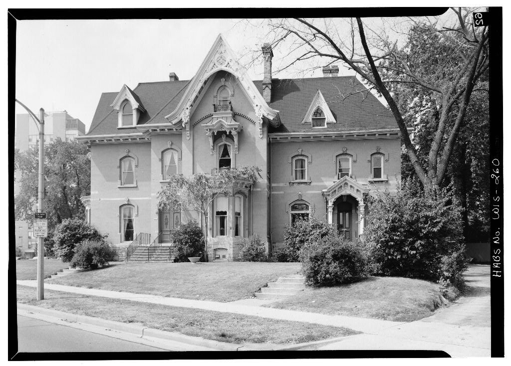
Jason Downer’s house
Downer Avenue is closely connected to Shorewood’s early railway history, but the street was not named for the train that traveled there.
The avenue was named for Jason Downer, a Wisconsin Supreme Court justice and one of the original editors of the Milwaukee Sentinel. His house is located on 1201 North Prospect Avenue, not Downer Avenue. Today, the house is included in the Library of Congress.
From 1886 to 1898, the Whitefish Bay Railway Company operated a commuter train popularly known as the “Dummy Line” along the present-day Downer Avenue corridor. The small steam-powered trains connected Milwaukee with communities and recreational destinations to the north.
The railway made it practical for more people to live outside Milwaukee while continuing to work in the city. In that sense, the Dummy Line helped set the stage for Shorewood’s development as an early commuter suburb.
Electric streetcars replaced the steam railway in 1898, providing more frequent service along both Downer and Oakland avenues. The Encyclopedia of Milwaukee’s history of Shorewood offers a useful overview of this transportation-driven growth.
Richland Court and Shorewood’s First Paved Streets
Richland Court is often identified in local histories as Shorewood’s first concrete-paved street, completed in 1913.
That improvement arrived during a period of significant population growth. Shorewood grew from approximately 300 residents in 1900 to more than 1,200 by 1913. New residents expected streets, sidewalks, utilities and other services comparable to those found in Milwaukee.
By 1920, Shorewood reportedly had approximately 15 miles of paved streets and 24 miles of sidewalks—evidence of how quickly it was changing from a semi-rural community into a modern suburb.
The Railroad Corridor That Became the Oak Leaf Trail

The Oak Leaf Trail through Shorewood occupies a former Chicago & North Western Railway corridor.
Railroad tracks were laid through the area in the 1880s, and by the 1920s dozens of passenger and freight trains passed through Shorewood each day.
One of the most famous was the Chicago & North Western’s streamlined 400 passenger train. Introduced in 1935, the train was promoted for traveling approximately 400 miles between Chicago and the Twin Cities in roughly 400 minutes.
The last freight train passed through Shorewood in 1989. The tracks were subsequently removed and the corridor became part of the Oak Leaf Trail.
Today, Shorewood’s Ghost Train public-art installation uses light and sound to evoke the passing of the 400. The installation gives trail users a brief glimpse—or at least an imaginative impression—of the trains that once thundered through the village.
Hubbard Park Honors a Village President
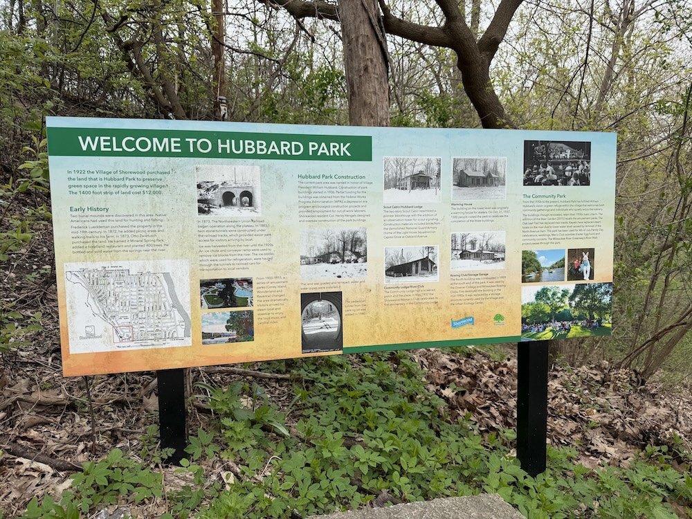
Hubbard Park is named for William J. Hubbard, who served as Shorewood village president from 1920 to 1946.
The wooded park lies along the Milwaukee River and includes trails, park buildings and Hubbard Park Lodge. Many of its rustic structures were constructed during the 1930s as Works Progress Administration projects.
The park should not, however, be confused with the amusement-park site farther south.
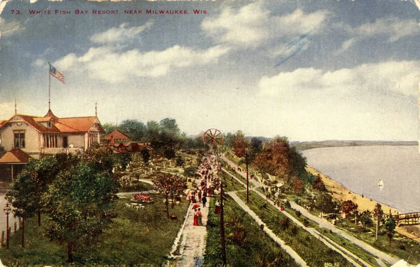
From 1872 through 1916, a succession of resorts and amusement parks operated in the southwestern corner of what is now Shorewood, near present-day River Park. The site began as Lueddemann’s-on-the-River and was later known as Coney Island, Wonderland and Ravenna Park.
Visitors arrived for roller coasters, music, dancing and other entertainment. Noise, bright lights and frustration over the Town of Milwaukee’s limited response helped motivate nearby residents to incorporate as the Village of East Milwaukee in 1900.
The Shorewood Historical Society tells this story through its historical markers and interpretive signs.
For a present-day family outing along the river, see our guide to Shorewood’s dog-friendly parks or learn about opportunities such as the Milwaukee River cleanup near Hubbard Park.
Village Hall Started as a School
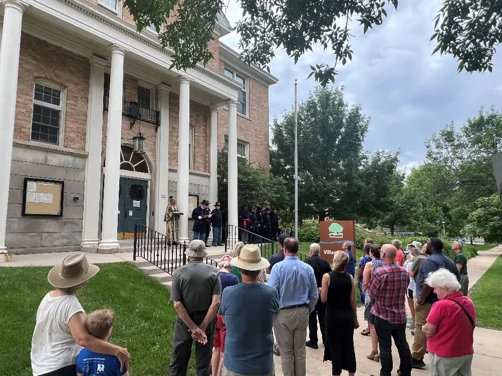
Shorewood Village Hall at 3930 N. Murray Avenue was constructed in 1908—but it was not originally a government building.
It opened as District School No. 4, serving children in what was then the Village of East Milwaukee. After the community built Atwater School, the village purchased the former school building in 1916 and converted it into Village Hall.
Works Progress Administration crews significantly remodeled the building during the late 1930s. The project added its Colonial Revival appearance, including the prominent columns and other decorative features visible today.
Village Hall was added to the National Register of Historic Places in 1984. Its history is included in the Historical Society’s Shorewood walking tour.
The Safety Building Marked a New Era
Shorewood’s rapid growth during the 1920s required more organized municipal services.
The village established its police department in 1920. After Milwaukee announced that it would no longer provide fire protection to the suburb, Shorewood constructed a Safety Building in 1928 and organized its own fire department the following year.
The original building stood near Village Hall and represented Shorewood’s transition from a small suburb dependent on Milwaukee services into a community with its own professional public-safety operations.
From East Milwaukee to Shorewood
When the community incorporated in 1900, it was called the Village of East Milwaukee.
Residents voted to adopt the name Shorewood in 1917. The new name gave the village a more distinct identity and reflected its location along the wooded Lake Michigan shoreline.
The change came at an important moment. Electric streetcars connected residents to Milwaukee, new homes were filling former farmland, and municipal infrastructure was expanding quickly. The newly named Shorewood was becoming one of the region’s most recognizable streetcar suburbs.
The village remains remarkably compact: approximately one mile wide, a mile and a half long and bounded by Lake Michigan, the Milwaukee River, Milwaukee and Whitefish Bay. With more than 13,000 residents, it continues to be one of Wisconsin’s most densely populated communities.
History Hidden in Plain Sight
Shorewood’s familiar streets and public spaces are more than locations on a map.
Capitol Drive reflects changing transportation connections. Oakland Avenue follows a line established by early surveyors. Downer Avenue recalls both Jason Downer and the railway that helped make suburban commuting possible. Hubbard Park honors decades of village leadership, while Village Hall preserves part of Shorewood’s educational history.
The next time you walk, bike or drive through Shorewood, look a little closer. The village’s transformation—from farmland and riverfront resorts to a streetcar suburb and densely populated urban village—is still visible in the names, routes and buildings all around you.
Explore More Shorewood Guides


Shorewood entrepreneur and author Howie Goldklang discusses running, creativity, community and the inspiration behind his book, Salt & Flickers.